Creating cloud-free composite HLS imagery with Fused
· 4 min read
High-quality satellite imagery is essential to assess the carbon impact of nature-based forest conservation and restoration projects [1]. However, getting that high quality imagery is uniquely difficult in areas that need carbon financing the most: tropical forests. Tropical forests present a unique challenge for satellite imagery analysis due to persistent cloud cover, which often renders optical imagery unusable and creates data gaps.

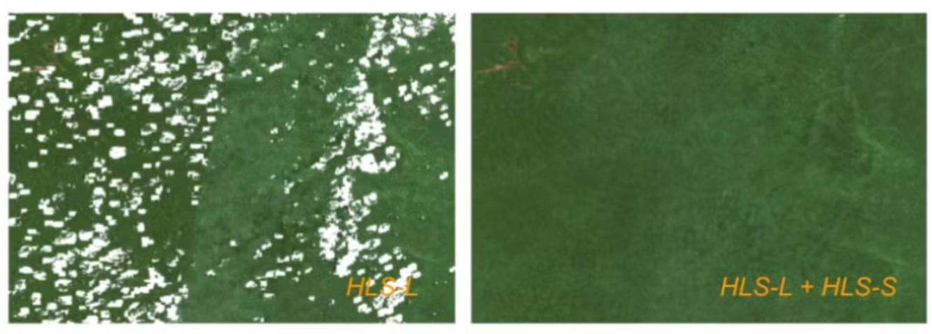
Example composites highlight how the HLS-L30 product alone can have gaps when attempting to make a seasonal composite, as fewer cloud-free observations.

